2012
SX3992 : Arable field south of Dubbs Cross
taken 12 years ago, near to Virginstow, Devon, England
This is 1 of 2 images, with title Arable field south of Dubbs Cross in this square
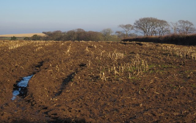
Arable field south of Dubbs Cross
A winter version of the view in SX3992 : Field boundary hedge. The land begins to slope away into woodland in the headwater valley of the Wolf tributary that runs past Upcott Mill.
 Map © Crown Copyright")
TIP: Click the map for more Large scale mapping
- Grid Square
- SX3992, 4 images (more nearby 🔍)
- Photographer
- Derek Harper (more nearby)
- Date Taken
- Wednesday, 8 February, 2012 (more nearby)
- Submitted
- Thursday, 16 February, 2012
- Subject Location
-
OSGB36:
 SX 3910 9218 [10m precision]
WGS84: 50:42.4160N 4:16.8064W - Camera Location
-
OSGB36: SX 3900 9217
- View Direction
- EAST (about 90 degrees)