NZ2463 : 'Riverside Rivets', Gateshead Riverside Park
taken 12 years ago, near to Gateshead, England
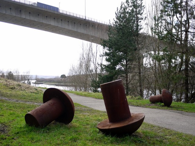
A lorry is crossing the Redheugh Bridge above.
Pipewellgate, which runs through Riverside Park, was named after the pipe well from which wooden pipes carried Gatesheads water supply. It was once part of a thriving trading community which looked to the river for its transport, and benefited from access to the south by the main London to Newcastle road and to the north by the Tyne Bridge. The first evidence of industrial activity was in 1408 when staiths were built. Pipewellgate ran parallel to the river and was developed with small factories, workshops and tenements. It was generally regarded as one of the worst residential areas in Gateshead. During the second half of the C19th, those who could afford to do so moved to more pleasant areas and by the 1930s slum clearance programmes began.
Emerging developments in rail, tram and road transport all bypassed the steep slopes of the riverside area and instead used Askew Road. In 1839 a railway linking Gateshead, South Shields and Monkwearmouth was opened. In 1844 a station was constructed at Greenesfield as well as the high-level bridge across the Tyne. The station was closed in August 1850 when the Central Station in Newcastle was opened. The area was then converted into railway workshops and a hotel. Greenesfield Works became Gatesheads largest single employer, with 3,300 employees in 1909. However, by 1910 the site had reached the physical limits of expansion, and locomotive construction was transferred to Darlington. The site continued to be used as a railway maintenance facility into the 1980s, and the buildings have now been converted into luxury apartments as part of the Ochre Yards housing development.
Industry remained on Pipewellgate until the recent closure of Brett Oils and Grease company, established in 1877 on the site of Joseph Prices glass works. Pipewellgate is now used as the route for the high-speed Centrelink bus service linking Gateshead town centre and the Metrocentre.
Riverside Park was landscaped during 1960-1970. During the late 1980s and in the early 1990s a number of sculptures were introduced within the park. The development of the park as an art venue and a valuable open space for local people continues to this day.
The Riverside Park provides a vital refuge for wildlife in the urban area and supports a wide range of habitats including areas of woodland, scrubland and grassland. In spring the scrub and wooded areas are filled with the rich sound of birdsong. Listen out for the distinctive calls of species such as the blackbird, robin and wren. Hedgehogs, grey squirrels and foxes have also made the park their home and at night the shadowy silhouette of pipistrelle bats can sometimes be seen hunting for insects among the tree tops.
Gateshead Riverside Park (pdf) Link
 Map © Crown Copyright")
- Grid Square
- NZ2463, 1552 images (more nearby 🔍)
- Photographer
- Andrew Curtis (more nearby)
- Date Taken
- Thursday, 16 February, 2012 (more nearby)
- Submitted
- Friday, 17 February, 2012
- Subject Location
-
OSGB36:
 NZ 2465 6300 [10m precision]
WGS84: 54:57.6618N 1:36.9941W - Camera Location
-
OSGB36: NZ 2465 6300
- View Direction
- WEST (about 270 degrees)