2012
NJ1540 : The eastern spur of Roy's Hill
taken 12 years ago, 3 km from Upper Knockando, Moray, Scotland
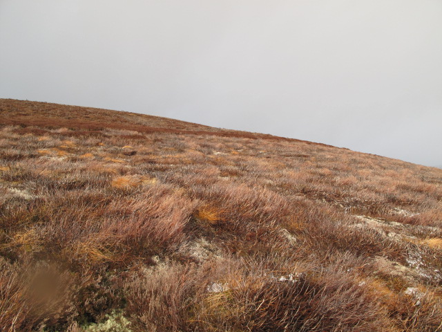
The eastern spur of Roy's Hill
This very rounded spur shows signs of vegetation regeneration after muirburn.
 Map © Crown Copyright")
TIP: Click the map for more Large scale mapping
- Grid Square
- NJ1540, 3 images (more nearby 🔍)
- Photographer
- alan souter (more nearby)
- Date Taken
- Saturday, 18 February, 2012 (more nearby)
- Submitted
- Sunday, 19 February, 2012
- Subject Location
-
OSGB36:
 NJ 1575 4058 [10m precision]
WGS84: 57:26.8608N 3:24.3269W - Camera Location
-
OSGB36: NJ 1599 4049
- View Direction
- West-northwest (about 292 degrees)