2011
SU3092 : Sands, Farm, Shellingford
taken 12 years ago, near to Shellingford, Oxfordshire, England
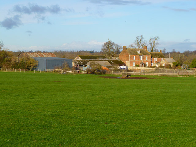
Sands, Farm, Shellingford
A view of the house and some of the other buildings from the bridleway that runs to their west.
 Map © Crown Copyright")
TIP: Click the map for more Large scale mapping
- Grid Square
- SU3092, 13 images (more nearby 🔍)
- Photographer
- Andrew Smith (more nearby)
- Date Taken
- Sunday, 18 December, 2011 (more nearby)
- Submitted
- Wednesday, 22 February, 2012
- Subject Location
-
OSGB36:
 SU 3076 9265 [10m precision]
WGS84: 51:37.9095N 1:33.4188W - Camera Location
-
OSGB36: SU 3077 9241
- View Direction
- NORTH (about 0 degrees)