2012
NZ2672 : Former Burradon and Holywell Waggonway
taken 12 years ago, near to Burradon, North Tyneside, England
This is 1 of 2 images, with title Former Burradon and Holywell Waggonway in this square
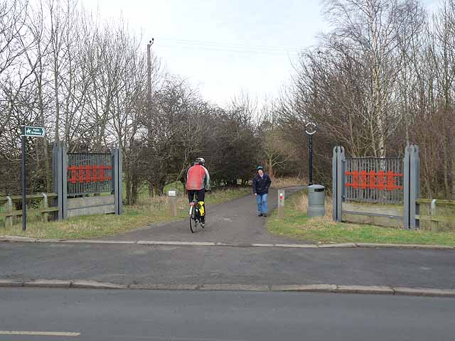
Former Burradon and Holywell Waggonway
The Burradon and Holywell Waggonway was one of many Link (Archive Link ) linking former coalmines in North Tyneside with the coal staithes on the Tyne. This view is taken near the western end of the waggonway where it crosses Great Lime Road near High Weetslade. Along with many other lengths of waggonway, this section has been converted into a cycle path in recent years and forms part of National Cycle Network, Regional Route 10 (the Reivers Cycle Route) Link which links Tynemouth with Whitehaven via Kielder Forest and Carlisle. Ironwork street furniture, such as these mock gates, is a common feature found on the restored paths.
 Map © Crown Copyright")
TIP: Click the map for more Large scale mapping
- Grid Square
- NZ2672, 35 images (more nearby 🔍)
- Photographer
- Oliver Dixon (more nearby)
- Date Taken
- Thursday, 23 February, 2012 (more nearby)
- Submitted
- Friday, 24 February, 2012
- Subject Location
-
OSGB36:
 NZ 2605 7230 [10m precision]
WGS84: 55:2.6717N 1:35.6318W - Camera Location
-
OSGB36: NZ 26035 72304
- View Direction
- EAST (about 90 degrees)