2012
SE1711 : Footpath and track south of Green Side Road
taken 12 years ago, near to Thurstonland, Kirklees, England
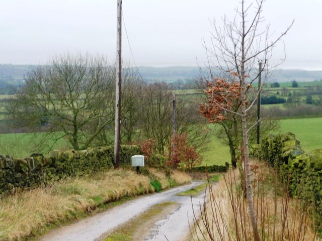
Footpath and track south of Green Side Road
The public footpath leads to Brown's Knoll Road, the track to buildings at the edge of Clough Wood.
 Map © Crown Copyright")
TIP: Click the map for more Large scale mapping
- Grid Square
- SE1711, 23 images (more nearby 🔍)
- Photographer
- Christine Johnstone (more nearby)
- Date Taken
- Thursday, 23 February, 2012 (more nearby)
- Submitted
- Friday, 24 February, 2012
- Subject Location
-
OSGB36:
 SE 1739 1141 [10m precision]
WGS84: 53:35.9384N 1:44.3222W - Camera Location
-
OSGB36: SE 1738 1148
- View Direction
- SOUTH (about 180 degrees)