2012
J3268 : The Ballynahatty Road near Edenderry (6)
taken 12 years ago, 3 km from Drumbeg, Co Down, Northern Ireland
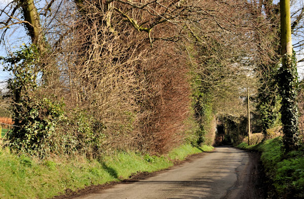
The Ballynahatty Road near Edenderry (6)
See J3268 : The Ballynahatty Road near Edenderry (3). The Ballynahatty Road, from close to the same spot, looking outward, towards the Giants Ring.
Loading map... (JavaScript required)
- Grid Square
- J3268, 816 images (more nearby 🔍)
- Photographer
- Albert Bridge (more nearby)
- Date Taken
- Friday, 24 February, 2012 (more nearby)
- Submitted
- Friday, 24 February, 2012
- Subject Location
-
Irish:
 J 326 681 [100m precision]
WGS84: 54:32.6804N 5:57.0864W - Camera Location
-
Irish: J 325 681
- View Direction
- EAST (about 90 degrees)