2012
NS4481 : Remains of a field dyke
taken 12 years ago, 3 km from Blairquhomrie, West Dunbartonshire, Scotland
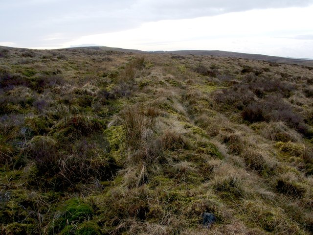
Remains of a field dyke
This former boundary is now very indistinct, but it can be followed for about 600m across the moor, heading ENE from c.NS44568103 to c.NS45108133.
See also NS4481 : Cultivation traces at Red Brae and NS4481 : Remains of an enclosure.
See also NS4481 : Cultivation traces at Red Brae and NS4481 : Remains of an enclosure.
Remains of a boundary
The remnants of an old boundary can be seen as a low, indistinct ridge, which begins at about NS44558102, and which extends ENE from there for at least 300 metres. Individual stones are visible at a few places along its length; these are probably from within the ridge.
 Map © Crown Copyright")
TIP: Click the map for more Large scale mapping
- Grid Square
- NS4481, 32 images (more nearby 🔍)
- Photographer
- Lairich Rig (more nearby)
- Date Taken
- Monday, 13 February, 2012 (more nearby)
- Submitted
- Tuesday, 28 February, 2012
- Subject Location
-
OSGB36:
 NS 4467 8106 [10m precision]
WGS84: 55:59.8358N 4:29.5302W - Camera Location
-
OSGB36: NS 4470 8107
- View Direction
- West-southwest (about 247 degrees)