2012
SU3692 : Benchmark on Blackacres Bridge
taken 12 years ago, near to Goosey, Oxfordshire, England
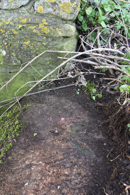
Benchmark on Blackacres Bridge
Ordnance Survey rivet benchmark described on the Bench Mark Database at Link
 Map © Crown Copyright")
TIP: Click the map for more Large scale mapping
- Grid Square
- SU3692, 12 images (more nearby 🔍)
- Photographer
- Roger Templeman (more nearby)
- Date Taken
- Tuesday, 6 March, 2012 (more nearby)
- Submitted
- Tuesday, 6 March, 2012
- Subject Location
-
OSGB36:
 SU 3621 9295 [10m precision]
WGS84: 51:38.0520N 1:28.6926W - Camera Location
-
OSGB36: SU 3621 9295
- View Direction
- EAST (about 90 degrees)