2010
SJ1466 : View from Offa's Dyke Path
taken 14 years ago, near to Llangwyfan, Denbighshire/Sir Ddinbych, Wales
This is 1 of 2 images, with title View from Offa's Dyke Path in this square
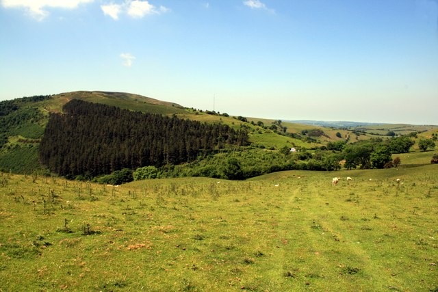
View from Offa's Dyke Path
Looking north west from the slopes below Moel Arthur.
 Map © Crown Copyright")
TIP: Click the map for more Large scale mapping
- Grid Square
- SJ1466, 31 images (more nearby 🔍)
- Photographer
- Jeff Buck (more nearby)
- Date Taken
- Thursday, 17 June, 2010 (more nearby)
- Submitted
- Wednesday, 7 March, 2012
- Subject Location
-
OSGB36:
 SJ 1418 6667 [10m precision]
WGS84: 53:11.4101N 3:17.1533W - Camera Location
-
OSGB36: SJ 1419 6666
- View Direction
- Northwest (about 315 degrees)