2011
SJ8293 : 1920s council housing and Mauldeth Road West, Hough End, Chorlton
taken 15 years ago, near to Withington, Manchester, England
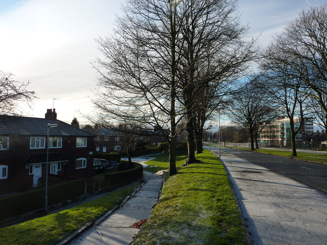
1920s council housing and Mauldeth Road West, Hough End, Chorlton
Mauldeth Road West was constructed in the late 1920s, along with garden village style housing estates both here at Hough End and to the south side of Barlow Moor Road.


TIP: Click the map for more Large scale mapping
- Grid Square
- SJ8293, 149 images (more nearby 🔍)
- Photographer
- Phil Champion (more nearby)
- Date Taken
- Sunday, 18 December, 2011 (more nearby)
- Submitted
- Thursday, 15 March, 2012
- Subject Location
-
OSGB36:
 SJ 8266 9331
[10m precision]
WGS84: 53:26.1768N 2:15.7487W - Camera Location
-
OSGB36:
SJ 8267 9332
- View Direction
- Southwest (about 225 degrees)


