2012
SX5072 : Sheep in the lane, Higher Statsford
taken 12 years ago, near to Whitchurch, Devon, England
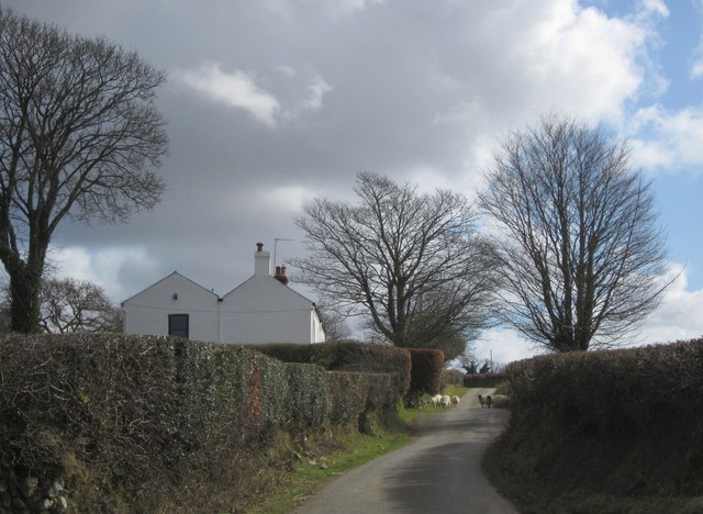
Sheep in the lane, Higher Statsford
It's a very minor no through road, so they are probably safe enough. The lane leads to the west corner of Plaster Down.
 Map © Crown Copyright")
TIP: Click the map for more Large scale mapping
- Grid Square
- SX5072, 4 images (more nearby 🔍)
- Photographer
- Derek Harper (more nearby)
- Date Taken
- Monday, 5 March, 2012 (more nearby)
- Submitted
- Friday, 16 March, 2012
- Subject Location
-
OSGB36:
 SX 507 726 [100m precision]
WGS84: 50:32.0442N 4:6.4836W - Camera Location
-
OSGB36: SX 5070 7271
- View Direction
- Southeast (about 135 degrees)