2012

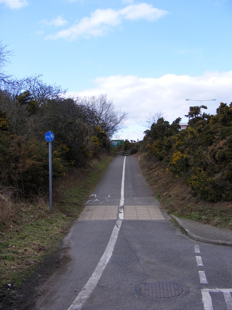
TM2445 : Path to Kesgrave

taken 12 years ago, near to Martlesham Heath, Suffolk, England

Path to Kesgrave
Path to Kesgrave
Near the Subway under the A12 Martlesham Bypass

Creative Commons Licence [Some Rights Reserved]   © Copyright Geographer and licensed for reuse under this Creative Commons Licence.
Geographical Context: Paths At: Martlesham Heath To: Kesgrave Primary Subject: Path other tags: Subway Martlesham Bypass A Road (Classified A) Bypass A12 Martlesham Bypass A12 Click a tag, to view other nearby images.
This photo is linked from: Automatic Clusters: · Subway under the A12 Martlesham Bypass [6] ·
1:50,000 Modern Day Landranger(TM) Map © Crown Copyright
+
+
1:50,000 Modern Day Landranger(TM) Map © Crown Copyright
TIP: Click the map for more Large scale mapping
Grid Square
TM2445, 167 images   (more nearby 🔍)
Photographer
Geographer   (more nearby)
Date Taken
Monday, 19 March, 2012   (more nearby)
Submitted
Tuesday, 20 March, 2012
Subject Location
OSGB36: geotagged! TM 2449 4592 [10m precision]
WGS84: 52:3.9679N 1:16.4275E
Camera Location
OSGB36: geotagged! TM 2450 4592
View Direction
North-northwest (about 337 degrees)
Clickable map
+
NW N NE
W Go E
SW S SE
Image classification(about): Geograph
This page has been viewed about 31 times
You are not logged in login | register