2012
SU8537 : Whitmore Vale, Mill Dam
taken 12 years ago, near to Churt, Surrey, England
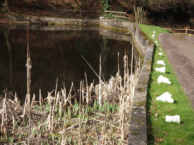
Whitmore Vale, Mill Dam
Bulrushes beside the mill dam wall, south of Churt.
 Map © Crown Copyright")
TIP: Click the map for more Large scale mapping
- Grid Square
- SU8537, 19 images (more nearby 🔍)
- Photographer
- Colin Smith (more nearby)
- Date Taken
- Sunday, 18 March, 2012 (more nearby)
- Submitted
- Tuesday, 20 March, 2012
- Subject Location
-
OSGB36:
 SU 8538 3753 [10m precision]
WGS84: 51:7.8416N 0:46.8719W - Camera Location
-
OSGB36: SU 8540 3752
- View Direction
- Northwest (about 315 degrees)