2012
SX4559 : A38 near Ernesettle
taken 12 years ago, near to St Budeaux, Plymouth, England
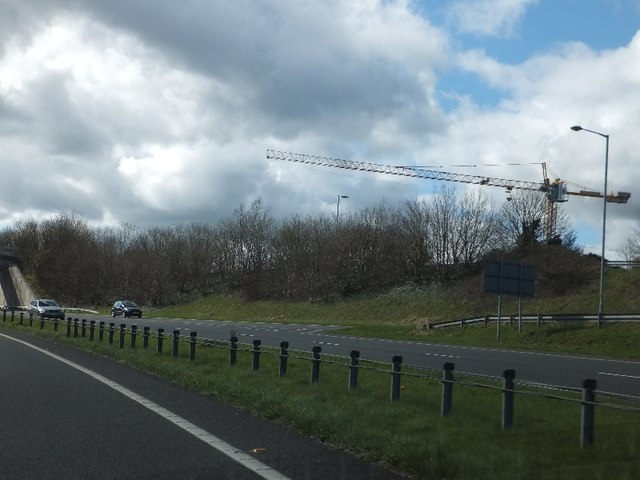
A38 near Ernesettle
To the north of the A38 (Parkway) was this tower crane.
 Map © Crown Copyright")
TIP: Click the map for more Large scale mapping
- Grid Square
- SX4559, 56 images (more nearby 🔍)
- Photographer
- David Smith (more nearby)
- Date Taken
- Sunday, 18 March, 2012 (more nearby)
- Submitted
- Tuesday, 20 March, 2012
- Subject Location
-
OSGB36:
 SX 452 591 [100m precision]
WGS84: 50:24.7224N 4:10.8032W - Camera Location
-
OSGB36: SX 453 591
- View Direction
- West-northwest (about 292 degrees)