2012

SJ0843 : Caer Drewyn

taken 12 years ago, near to Corwen, Denbighshire/Sir Ddinbych, Wales
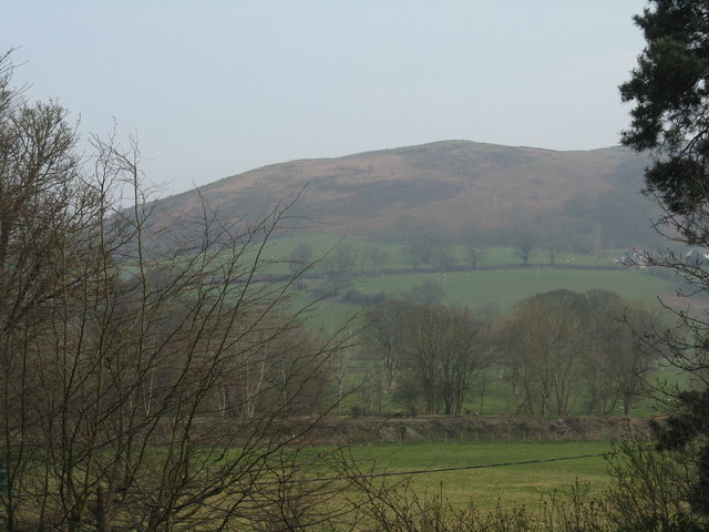
Caer Drewyn
Caer Drewyn
Seen from Bron-y-Graig, across the valley of the River Dee/Afon Dyfrdwy.

Creative Commons Licence [Some Rights Reserved]   © Copyright M J Richardson and licensed for reuse under this Creative Commons Licence.
Geographical Context: Historic sites and artefacts Uplands Farm, Fishery, Market Gardening Village, Rural settlement Place: Denbighshire Sir Ddinbych Corwen other tags: Landscape Hill Fort Click a tag, to view other nearby images.
This photo is linked from: Automatic Clusters: · River Dee [18] · Afon Dyfrdwy [8] · Dee Valley [6] ·
1:50,000 Modern Day Landranger(TM) Map © Crown Copyright
+
+
1:50,000 Modern Day Landranger(TM) Map © Crown Copyright
TIP: Click the map for more Large scale mapping
Grid Square
SJ0843, 139 images   (more nearby 🔍)
Photographer
M J Richardson   (more nearby)
Date Taken
Thursday, 22 March, 2012   (more nearby)
Submitted
Wednesday, 28 March, 2012
Subject Location
OSGB36: geotagged! SJ 0843 4360 [10m precision]
WGS84: 52:58.9135N 3:21.9205W
Camera Location
OSGB36: geotagged! SJ 0823 4334
View Direction
Northeast (about 45 degrees)
Clickable map
+
NW N NE
W Go E
SW S SE
Image classification(about): Geograph
This page has been viewed about 34 times
You are not logged in login | register