2012
SJ5255 : Footpath near Bulkeley Hill Farm
taken 12 years ago, near to Bulkeley, Cheshire East, England
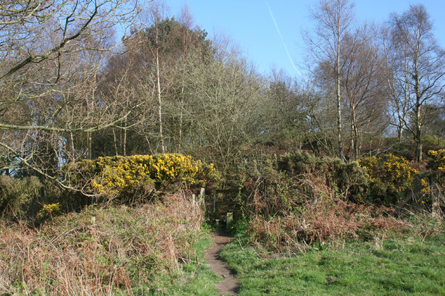
Footpath near Bulkeley Hill Farm
A public footpath cuts between the track towards Peckforton Gap (beyond stile and gorse hedge) and the track towards Raw Head. The large sloping pasture field contains gorse bushes
 Map © Crown Copyright")
TIP: Click the map for more Large scale mapping
- Grid Square
- SJ5255, 47 images (more nearby 🔍)
- Photographer
- Espresso Addict (more nearby)
- Date Taken
- Sunday, 1 April, 2012 (more nearby)
- Submitted
- Tuesday, 3 April, 2012
- Subject Location
-
OSGB36:
 SJ 521 552 [100m precision]
WGS84: 53:5.5488N 2:42.9671W - Camera Location
-
OSGB36: SJ 521 552
- View Direction
- EAST (about 90 degrees)