2006
SZ0183 : Godlingston Heath NNR - central bog
taken 17 years ago, near to Studland, Dorset, England
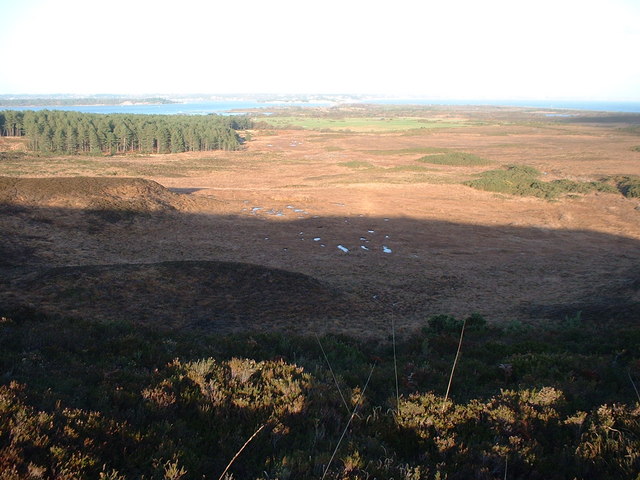
Godlingston Heath NNR - central bog
On the slopes beyond the golf course you get to see just how big an area of heathland Studland and Godlingston Heath NNR is, about 750 hectares. Here the central bog is in the centre, with bog pools in the wettest areas, whilst beyond, the borders of Rempstone Forest impose upon the heath and Greenlands Farm show up.
 Map © Crown Copyright")
TIP: Click the map for more Large scale mapping
- Grid Square
- SZ0183, 10 images (more nearby 🔍)
- Photographer
- David Hodd (more nearby)
- Date Taken
- Saturday, 2 December, 2006 (more nearby)
- Submitted
- Saturday, 2 December, 2006
- Subject Location
-
OSGB36:
 SZ 015 836 [100m precision]
WGS84: 50:39.1248N 1:58.8086W - Camera Location
-
OSGB36: SZ 01 83
- View Direction
- Northeast (about 45 degrees)