2012
SU0522 : Bridleway Junction
taken 12 years ago, near to Martin Drove End, Hampshire, England
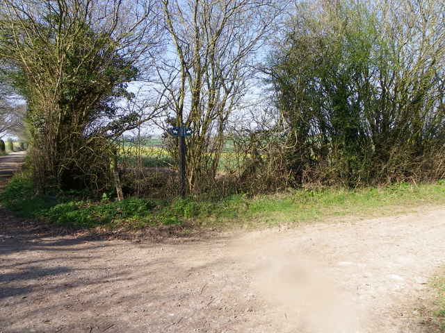
Bridleway Junction
 Map © Crown Copyright")
TIP: Click the map for more Large scale mapping
- Grid Square
- SU0522, 52 images (more nearby 🔍)
- Photographer
- Maigheach-gheal (more nearby)
- Date Taken
- Friday, 6 April, 2012 (more nearby)
- Submitted
- Friday, 6 April, 2012
- Subject Location
-
OSGB36:
 SU 0519 2292 [10m precision]
WGS84: 51:0.3386N 1:55.6442W - Camera Location
-
OSGB36: SU 0520 2293
- View Direction
- West-southwest (about 247 degrees)