2012
TQ8410 : Footpath in Hastings Country Park
taken 12 years ago, near to Ore, East Sussex, England
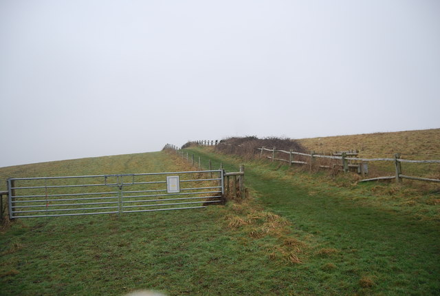
Footpath in Hastings Country Park
Hastings Country Park was formed in 1974 and covers 660 acres (2.7 km2) east of Hastings in England. Sandstone cliffs, glens covered with gorse and trees, footpaths, nature trails, picnic areas and ample car parking are some of the features at the country park. Set in the High Weald Area of Outstanding Natural Beauty, most of the park has been designated a Special Area of Conservation, a Site of Special Scientific Interest and is a proposed Local Nature Reserve.
Extract from Wikipedia Link
See other images of Hastings Country Park
Extract from Wikipedia Link
See other images of Hastings Country Park
 Map © Crown Copyright")
TIP: Click the map for more Large scale mapping
- Grid Square
- TQ8410, 57 images (more nearby 🔍)
- Photographer
- N Chadwick (more nearby)
- Date Taken
- Friday, 2 March, 2012 (more nearby)
- Submitted
- Friday, 13 April, 2012
- Subject Location
-
OSGB36:
 TQ 8417 1011 [10m precision]
WGS84: 50:51.6700N 0:36.9346E - Camera Location
-
OSGB36: TQ 8415 1011
- View Direction
- East-northeast (about 67 degrees)