2012
TM2367 : Tannington Road, Worlingworth
taken 12 years ago, near to Tannington, Suffolk, England
This is 1 of 4 images, with title Tannington Road, Worlingworth in this square
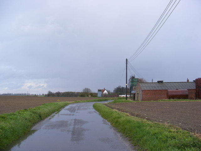
Tannington Road, Worlingworth
Near Low Farm
 Map © Crown Copyright")
TIP: Click the map for more Large scale mapping
- Grid Square
- TM2367, 23 images (more nearby 🔍)
- Photographer
- Geographer (more nearby)
- Date Taken
- Tuesday, 17 April, 2012 (more nearby)
- Submitted
- Tuesday, 17 April, 2012
- Subject Location
-
OSGB36:
 TM 23552 67431 [1m precision]
WGS84: 52:15.5754N 1:16.4571E - Camera Location
-
OSGB36: TM 2354 6742
- View Direction
- East-northeast (about 67 degrees)