2012
SY6187 : Black Down
taken 12 years ago, near to Portesham, Dorset, England
This is 1 of 2 images, with title Black Down in this square
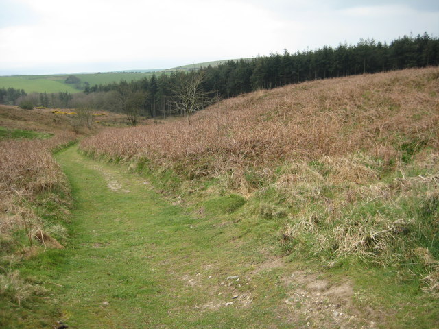
Black Down
The South Dorset Ridgeway and inland alternative South West Coast Path route follow this footpath on Black Down near the Hardy Monument.
 Map © Crown Copyright")
TIP: Click the map for more Large scale mapping
- Grid Square
- SY6187, 95 images (more nearby 🔍)
- Photographer
- Philip Halling (more nearby)
- Date Taken
- Wednesday, 4 April, 2012 (more nearby)
- Submitted
- Thursday, 26 April, 2012
- Subject Location
-
OSGB36:
 SY 6115 8746 [10m precision]
WGS84: 50:41.1293N 2:33.0779W - Camera Location
-
OSGB36: SY 6117 8748
- View Direction
- Southwest (about 225 degrees)