2012
SY6686 : South Dorset Ridgeway
taken 12 years ago, near to Upwey, Dorset, England
This is 1 of 6 images, with title South Dorset Ridgeway in this square
South Dorset Ridgeway
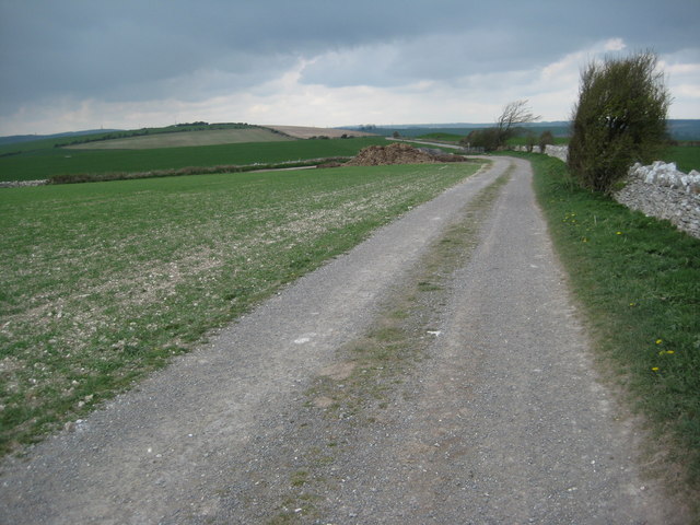
The South Dorset Ridgeway and the inland alternative route of the South West Coast Path follow this track on Ridge Hill.
 Map © Crown Copyright")
TIP: Click the map for more Large scale mapping
- Grid Square
- SY6686, 43 images (more nearby 🔍)
- Photographer
- Philip Halling (more nearby)
- Date Taken
- Wednesday, 4 April, 2012 (more nearby)
- Submitted
- Thursday, 26 April, 2012
- Subject Location
-
OSGB36:
 SY 6675 8629 [10m precision]
WGS84: 50:40.5189N 2:28.3155W - Camera Location
-
OSGB36: SY 6681 8622
- View Direction
- Northwest (about 315 degrees)