2012

SK1515 : Overley Lane

taken 12 years ago, near to Orgreave, Staffordshire, England
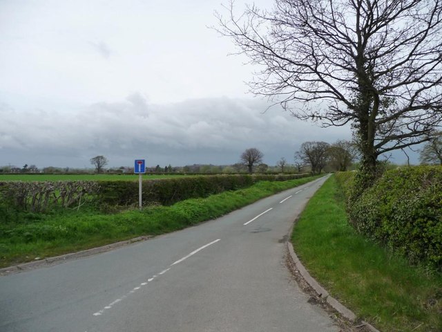
Overley Lane
Overley Lane
At the junction with the A513, at a 56 metre spot height.

Creative Commons Licence [Some Rights Reserved]   © Copyright Christine Johnstone and licensed for reuse under this Creative Commons Licence.
Geographical Context: Roads, Road transport other tags: Lane Rural Road Rural Lane Minor Road No Through Road Grass Verges Hedges Hedge Hedgerow Hedgerows Click a tag, to view other nearby images.
This photo is linked from: Automatic Clusters: · A513 [11] · Metre Spot Height [2] · Overley Lane [2] ·
1:50,000 Modern Day Landranger(TM) Map © Crown Copyright
+
+
1:50,000 Modern Day Landranger(TM) Map © Crown Copyright
TIP: Click the map for more Large scale mapping
Grid Square
SK1515, 17 images   (more nearby 🔍)
Photographer
Christine Johnstone   (more nearby)
Date Taken
Saturday, 28 April, 2012   (more nearby)
Submitted
Sunday, 29 April, 2012
Subject Location
OSGB36: geotagged! SK 1596 1530 [10m precision]
WGS84: 52:44.1061N 1:45.9043W
Camera Location
OSGB36: geotagged! SK 1595 1528
View Direction
North-northeast (about 22 degrees)
Clickable map
+
NW N NE
W Go E
SW S SE
Image classification(about): Geograph
This page has been viewed about 22 times
You are not logged in login | register