2012
ND1833 : Burn of Latheronwheel
taken 12 years ago, near to Latheronwheel, Highland, Scotland
This is 1 of 2 images, with title Burn of Latheronwheel in this square
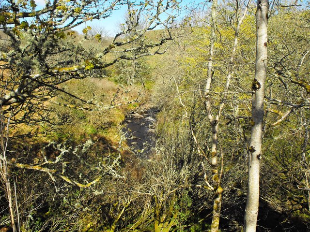
Burn of Latheronwheel
Burn of Latheronwheel upstream of the bridge.
 Map © Crown Copyright")
TIP: Click the map for more Large scale mapping
- Grid Square
- ND1833, 11 images (more nearby 🔍)
- Photographer
- John MacKenzie (more nearby)
- Date Taken
- Tuesday, 1 May, 2012 (more nearby)
- Submitted
- Tuesday, 1 May, 2012
- Subject Location
-
OSGB36:
 ND 1858 3307 [10m precision]
WGS84: 58:16.7221N 3:23.3981W - Camera Location
-
OSGB36: ND 1859 3307
- View Direction
- WEST (about 270 degrees)