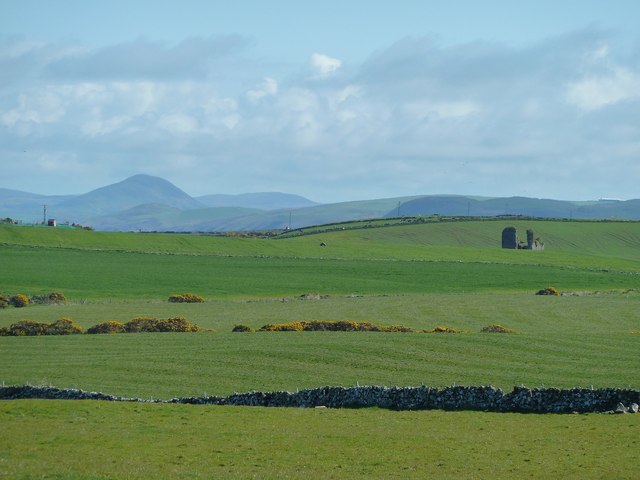
NW9870 : View to Jamieson's Hill
taken 12 years ago, near to North Cairn, Dumfries And Galloway, Scotland
The annual WalkFest based in Newton Stewart offers a wide range of 28 walks in South West Scotland from moderate to very strenuous over seven days in May. All pictures tagged with this shared description were taken on Walk 2-5 Corsewall Coastal Route on Saturday 12th May 2012, described in the events programme as a 13km (8 Mile) walk with about 250 metres of ascent and moderate plus difficulty.
The walk started at Cairnside (NW9870), going clockwise and following the ups and downs of the coast line past Corsewall Point (NW9772), Milleur Point (NX0173) and Lady Bay (NX0271). Then leaving the coast at Jamiesons Point (NX0370) past Clachans (NX0270) to finish in the village of Kirkholm (NX0368).
Having completed the walk from 10.00am to 17.15pm I can honestly say that it was a challenging walk with great weather and only an occasional short shower. I suspect we travelled a bit further than 8 miles and that the walk was probably at the strenuous minus level, but it was a cracking day out with views over the North Channel and Ailsa Craig for most of the day. Link
 Map © Crown Copyright")
- Grid Square
- NW9870, 19 images (more nearby 🔍)
- Photographer
- Andy Farrington (more nearby)
- Date Taken
- Saturday, 12 May, 2012 (more nearby)
- Submitted
- Saturday, 12 May, 2012
- Subject Location
-
OSGB36:
 NW 9851 7061 [10m precision]
WGS84: 54:59.3518N 5:9.0579W - Camera Location
-
OSGB36: NW 98105 70535
- View Direction
- East-northeast (about 67 degrees)