2012
SD9068 : The path divides
taken 12 years ago, 4 km SW of Arncliffe, North Yorkshire, England
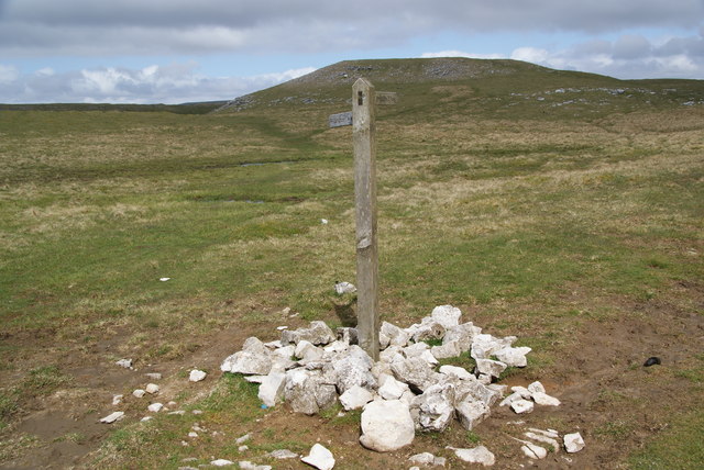
The path divides
A choice of Darnbrook or Arncliffe. Middle House Hill is the lump ahead.
 Map © Crown Copyright")
TIP: Click the map for more Large scale mapping
- Grid Square
- SD9068, 20 images (more nearby 🔍)
- Photographer
- Bill Boaden (more nearby)
- Date Taken
- Saturday, 28 April, 2012 (more nearby)
- Submitted
- Sunday, 13 May, 2012
- Subject Location
-
OSGB36:
 SD 9069 6837 [10m precision]
WGS84: 54:6.6673N 2:8.6340W - Camera Location
-
OSGB36: SD 9069 6836
- View Direction
- North-northwest (about 337 degrees)