2012
SK1387 : Stream at the head of Jaggers Clough
taken 12 years ago, near to Edale, Derbyshire, England
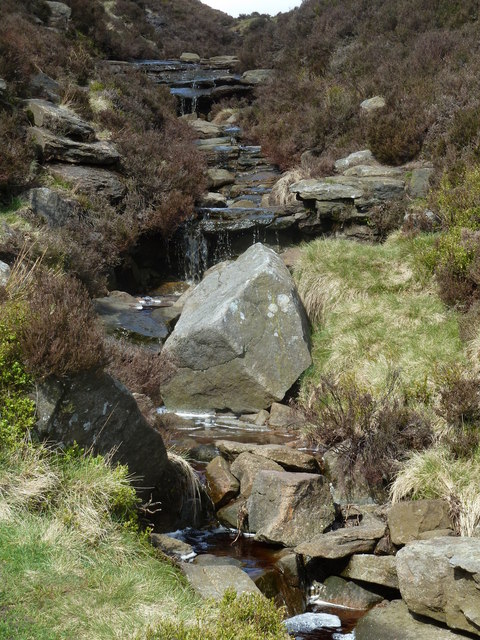
Stream at the head of Jaggers Clough
Looking up from the lower footpath as shown on the 1:25,000 map. A similar view on Geograph of the stream in icy winter conditions SK1387 : Frozen Jaggers Clough.
 Map © Crown Copyright")
TIP: Click the map for more Large scale mapping
- Grid Square
- SK1387, 28 images (more nearby 🔍)
- Photographer
- Andrew Hill (more nearby)
- Date Taken
- Saturday, 12 May, 2012 (more nearby)
- Submitted
- Sunday, 13 May, 2012
- Subject Location
-
OSGB36:
 SK 1393 8779 [10m precision]
WGS84: 53:23.2063N 1:47.5215W - Camera Location
-
OSGB36: SK 1396 8779
- View Direction
- WEST (about 270 degrees)