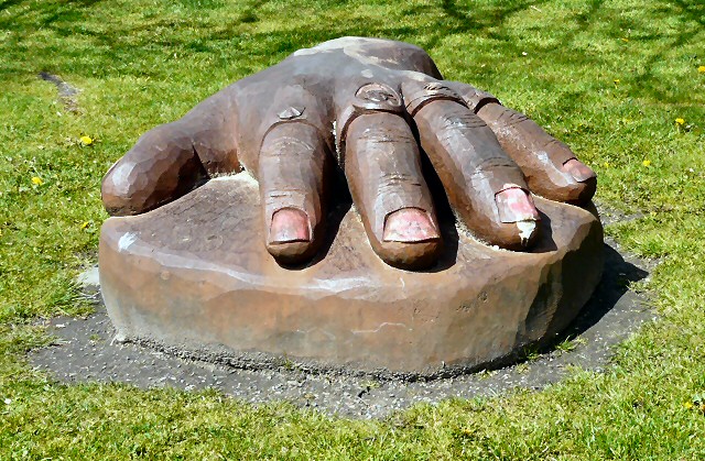
SJ9297 : A hand in Oxford Park
taken 12 years ago, near to Audenshaw, Tameside, England
Oxford Park is a small urban park flanked by predominantly terraced housing and various industries, with the Ashton Canal running at the rear of the site. It was created in 1870 by Hugh Mason who owned two mills in the area. It comprises a play area, bowling green, pavilions, MUGA, Sports Centre and football pitches. Mature trees, planting and ample seating reflect the gentle nature of the park.
Many of the original features of the park have been lost over the years, including the conservatory attached to the pavilion and the covered walkway to this pavilion, although the gothic style columns still exist.
Oxford Park Community Sports Centre is a recently built modern fully equipped sports and community facility providing a badminton court sports hall, fitness suite, multi use rooms suitable for meetings, training or community groups.
Activities at the centre include football, badminton, group workout classes and sessions in the fitness suite. The centre is also home to a number of clubs covering a range of sports.
 Map © Crown Copyright")
- Grid Square
- SJ9297, 261 images (more nearby 🔍)
- Photographer
- Gerald England (more nearby)
- Date Taken
- Tuesday, 8 May, 2012 (more nearby)
- Submitted
- Monday, 14 May, 2012
- Subject Location
-
OSGB36:
 SJ 9287 9793 [10m precision]
WGS84: 53:28.6828N 2:6.5339W - Camera Location
-
OSGB36: SJ 9288 9793
- View Direction
- West-northwest (about 292 degrees)