2012
J5081 : Manhole cover, Bangor
taken 12 years ago, near to Bangor, Co Down, Northern Ireland
Manhole cover, Bangor
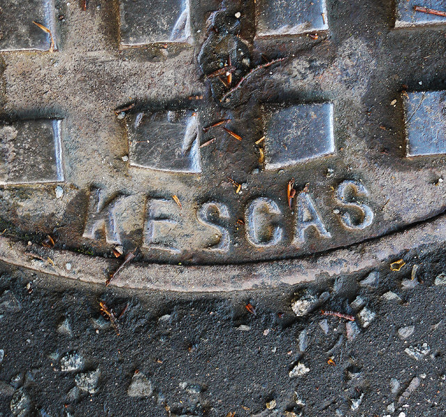
Detail of the manhole cover on the Gransha Road in Bangor seen in J5081 : Manhole cover, Bangor. It is marked 'Kesgas' and the British Standard BS 497. Further information welcomed.
Manhole covers, foundry products etc, Northern Ireland
A series of photographs showing manhole covers, fire hydrants, gratings, foundry products, foundry plaques and inscriptions etc, in Northern Ireland.
Loading map... (JavaScript required)
- Grid Square
- J5081, 1044 images (more nearby 🔍)
- Photographer
- Rossographer (more nearby)
- Date Taken
- Thursday, 17 May, 2012 (more nearby)
- Submitted
- Friday, 18 May, 2012
- Subject Location
-
Irish:
 J 509 813 [100m precision]
WGS84: 54:39.4385N 5:39.7019W - Camera Location
-
Irish: J 509 813
- View Direction
- NORTH (about 0 degrees)