2012
TQ2982 : Tavistock Square Gardens
taken 12 years ago, near to London, The City of London, England
This is 1 of 6 images, with title Tavistock Square Gardens in this square
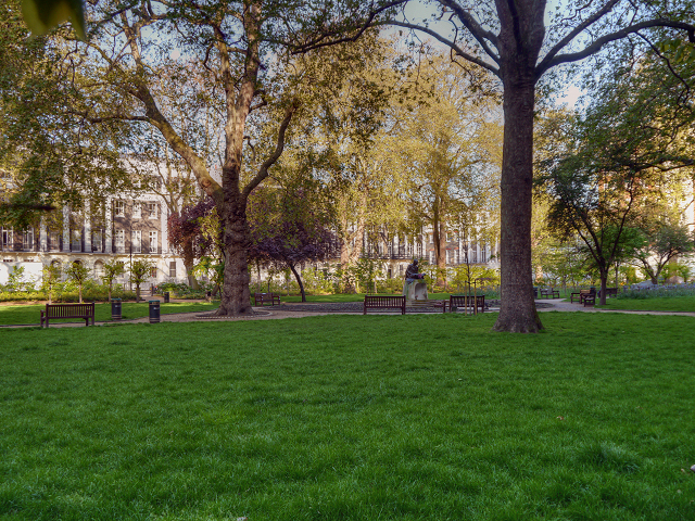
Tavistock Square Gardens
Prior to the 1550s, the land was part of the Tottenhall Manor before being granted to the Earl of Southampton to form part of the Bloomsbury Estate. The area remained as open fields until 1776, when the 5th Duke of Bedford began a major building programme. The gardens were developed as private space for the surrounding terraced houses with construction beginning in 1803.
During the Second World War, the gardens became open to the public by default when the boundary railings were removed to be re-used in the war effort. They were officially opened after WWII, when the gardens were transferred from the Bedford Estate to St Pancras Parish Council during the 1950s.
During the Second World War, the gardens became open to the public by default when the boundary railings were removed to be re-used in the war effort. They were officially opened after WWII, when the gardens were transferred from the Bedford Estate to St Pancras Parish Council during the 1950s.
 Map © Crown Copyright")
TIP: Click the map for more Large scale mapping
- Grid Square
- TQ2982, 2044 images (more nearby 🔍)
- Photographer
- David Dixon (more nearby)
- Date Taken
- Wednesday, 16 May, 2012 (more nearby)
- Submitted
- Sunday, 20 May, 2012
- Subject Location
-
OSGB36:
 TQ 2990 8231 [10m precision]
WGS84: 51:31.4864N 0:7.7366W - Camera Location
-
OSGB36: TQ 2995 8230
- View Direction
- WEST (about 270 degrees)