2012
NS7687 : Canglour Glen, road junction
taken 12 years ago, 3 km from Shielbrae, Stirling, Scotland
This is 1 of 2 images, with title Canglour Glen, road junction in this square
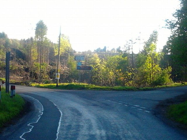
Canglour Glen, road junction
The big storms of the winter of 2011/12 did a lot of damage. Compare this scene with NS7687 : Canglour Glen, road junction taken two years previously.
 Map © Crown Copyright")
TIP: Click the map for more Large scale mapping
- Grid Square
- NS7687, 15 images (more nearby 🔍)
- Photographer
- Robert Murray (more nearby)
- Date Taken
- Monday, 21 May, 2012 (more nearby)
- Submitted
- Monday, 21 May, 2012
- Subject Location
-
OSGB36:
 NS 7692 8742 [10m precision]
WGS84: 56:3.8241N 3:58.7028W - Camera Location
-
OSGB36: NS 7698 8745
- View Direction
- West-southwest (about 247 degrees)