2012
SD6413 : Gate, Belmont Road
taken 12 years ago, near to Horwich, Bolton, England
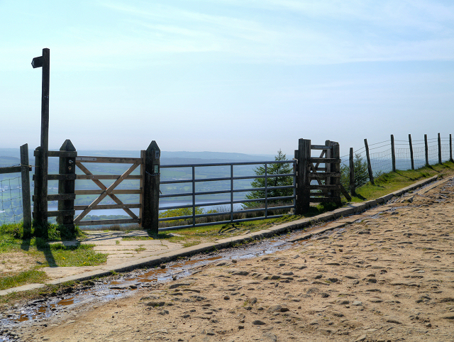
Gate, Belmont Road
The gate and footpath sign point the way down to The Lower and Upper Rivington Reservoirs (SD6214 : Lower Rivington Reservoir), the large body which can be seen in the background (and approx 1000 feet below!).
 Map © Crown Copyright")
TIP: Click the map for more Large scale mapping
- Grid Square
- SD6413, 83 images (more nearby 🔍)
- Photographer
- David Dixon (more nearby)
- Date Taken
- Tuesday, 22 May, 2012 (more nearby)
- Submitted
- Thursday, 24 May, 2012
- Subject Location
-
OSGB36:
 SD 6427 1346 [10m precision]
WGS84: 53:36.9875N 2:32.4955W - Camera Location
-
OSGB36: SD 6432 1344
- View Direction
- West-northwest (about 292 degrees)