2012
SU6125 : Downland by Green Lane
taken 12 years ago, near to Warnford, Hampshire, England
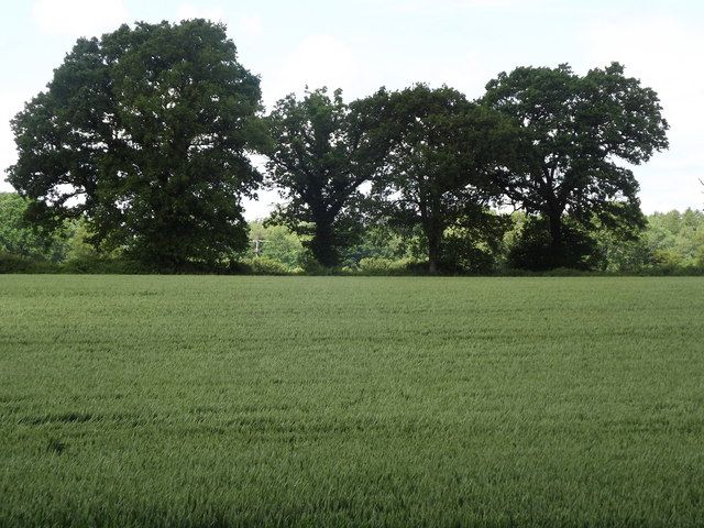
Downland by Green Lane
Cultivated downland fields above the Meon Valley in north-east Hampshire.
 Map © Crown Copyright")
TIP: Click the map for more Large scale mapping
- Grid Square
- SU6125, 19 images (more nearby 🔍)
- Photographer
- Colin Smith (more nearby)
- Date Taken
- Saturday, 9 June, 2012 (more nearby)
- Submitted
- Saturday, 9 June, 2012
- Subject Location
-
OSGB36:
 SU 6168 2544 [10m precision]
WGS84: 51:1.5018N 1:7.3144W - Camera Location
-
OSGB36: SU 6179 2530
- View Direction
- Northwest (about 315 degrees)