1974
SD9864 : On the B6160 Near Treshfield
taken 50 years ago, near to Threshfield, North Yorkshire, England
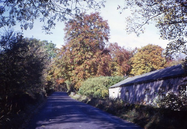
On the B6160 Near Treshfield
 Map © Crown Copyright")
TIP: Click the map for more Large scale mapping
- Grid Square
- SD9864, 59 images (more nearby 🔍)
- Photographer
- John M Wheatley (more nearby)
- Date Taken
- 1974 (more nearby)
- Submitted
- Tuesday, 12 June, 2012
- Subject Location
-
OSGB36:
 SD 9822 6488 [10m precision]
WGS84: 54:4.7903N 2:1.7220W - Camera Location
-
OSGB36: SD 9826 6483
- View Direction
- Northwest (about 315 degrees)