2012
NM7061 : Loch Sunart from the trig point on Gearr Chreag
taken 12 years ago, 3 km from Resipole, Highland, Scotland
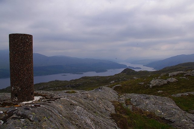
Loch Sunart from the trig point on Gearr Chreag
 Map © Crown Copyright")
TIP: Click the map for more Large scale mapping
- Grid Square
- NM7061, 2 images (more nearby 🔍)
- Photographer
- Pat Macleod (more nearby)
- Date Taken
- Tuesday, 29 May, 2012 (more nearby)
- Submitted
- Wednesday, 13 June, 2012
- Subject Location
-
OSGB36:
 NM 7086 6108 [10m precision]
WGS84: 56:41.1065N 5:44.5804W - Camera Location
-
OSGB36: NM 7082 6106
- View Direction
- East-northeast (about 67 degrees)