2012
NY4215 : Ruined building in Bannerdale
taken 12 years ago, near to Dale Head, Cumbria, England
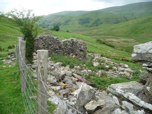
Ruined building in Bannerdale
Alongside the path from Angle Tarn.
 Map © Crown Copyright")
TIP: Click the map for more Large scale mapping
- Grid Square
- NY4215, 30 images (more nearby 🔍)
- Photographer
- Christine Johnstone (more nearby)
- Date Taken
- Sunday, 10 June, 2012 (more nearby)
- Submitted
- Tuesday, 19 June, 2012
- Subject Location
-
OSGB36:
 NY 4267 1587 [10m precision]
WGS84: 54:32.0904N 2:53.2500W - Camera Location
-
OSGB36: NY 4266 1587
- View Direction
- East-northeast (about 67 degrees)