2012
J3861 : Pylon and power lines near Saintfield (1)
taken 12 years ago, 3 km from The Temple, Co Down, Northern Ireland
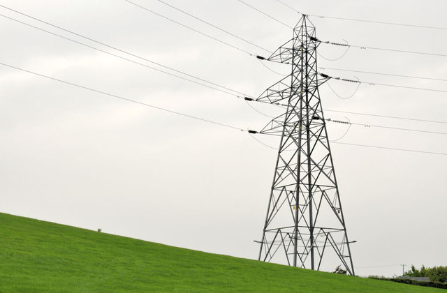
Pylon and power lines near Saintfield (1)
A pylon and power lines, on the north western side of the Craigy Road J3860 : The Craigy Road near Saintfield, at Craignasasonagh. The 1:50,000 map shows a group of pylons on the Manse Road, Castlereagh (mentioned in J3366 : Pylons and power lines, Ballylesson, Belfast). This line seems to start there and run to Ballynahinch via Carryduff. J3860 : Pylon and power lines near Saintfield (2) shows the next pylon to the south/south west.
Loading map... (JavaScript required)
- Grid Square
- J3861, 4 images (more nearby 🔍)
- Photographer
- Albert Bridge (more nearby)
- Date Taken
- Thursday, 21 June, 2012 (more nearby)
- Submitted
- Thursday, 21 June, 2012
- Subject Location
-
Irish:
 J 381 611 [100m precision]
WGS84: 54:28.7890N 5:52.1521W - Camera Location
-
Irish: J 381 610
- View Direction
- NORTH (about 0 degrees)