SD9204 : Metrolink Extension (and Sewer) Work, Union Street
taken 12 years ago, near to Oldham, England
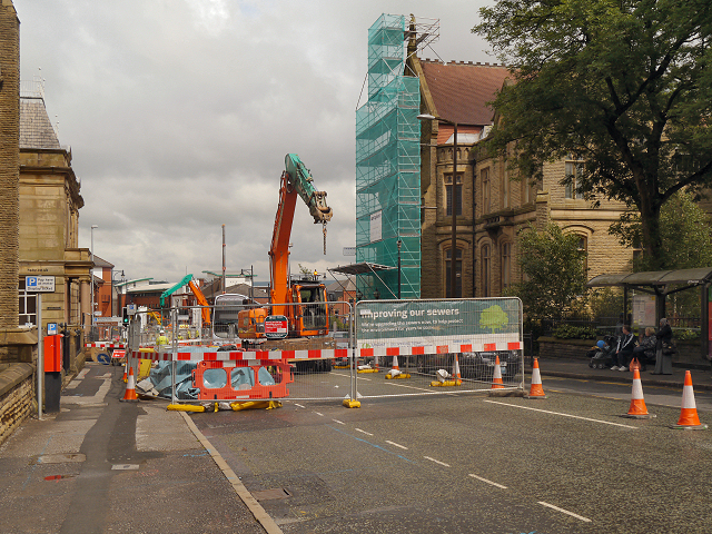
Following years of disruption, engineering work and road closures, Metrolink services began running through Oldham town centre on January 27 2014, with the opening of a loop on the Manchester to Rochdale line.
The on-street loop leaves the former Manchester to Oldham railway alignment near the Westwood business park, before running north alongside Featherstall Road and Middleton Road. After crossing Manchester Street roundabout, the route runs along Union Street and then rejoins the line to Rochdale at Oldham Mumps. Three new tram stops have been created in the town, Westwood, King Street and Oldham Central. Additionally, the temporary stop at Oldham Mumps has been replaced by a new tram and bus interchange including a free park and ride site for tram passengers.
The completion of the loop means that the Metrolink network now extends for 48 miles and has 76 stops/stations. The 24 km section of former railway through Oldham from Freehold to Mumps is now closed.
 Map © Crown Copyright")
- Grid Square
- SD9204, 148 images (more nearby 🔍)
- Photographer
- David Dixon (more nearby)
- Date Taken
- Thursday, 21 June, 2012 (more nearby)
- Submitted
- Saturday, 23 June, 2012
- Subject Location
-
OSGB36:
 SD 9276 0488 [10m precision]
WGS84: 53:32.4308N 2:6.6431W - Camera Location
-
OSGB36: SD 9273 0488
- View Direction
- EAST (about 90 degrees)