2012
HP5917 : Clingera, Burra and Humla Stacks, Hermaness
taken 12 years ago, 4 km NNW of Burrafirth, Unst, Shetland Islands, Scotland
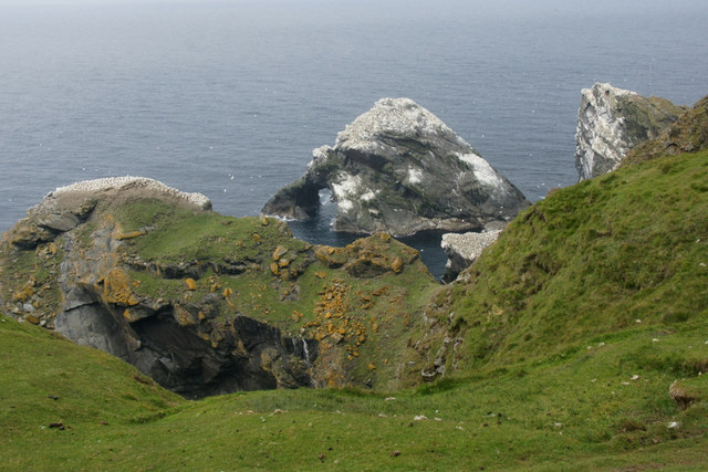
Clingera, Burra and Humla Stacks, Hermaness
 Map © Crown Copyright")
TIP: Click the map for more Large scale mapping
- Grid Square
- HP5917, 100 images (more nearby 🔍)
- Photographer
- Mike Pennington (more nearby)
- Date Taken
- Sunday, 24 June, 2012 (more nearby)
- Submitted
- Monday, 25 June, 2012
- Subject Location
-
OSGB36:
 HP 5990 1789 [10m precision]
WGS84: 60:50.3598N 0:53.9945W - Camera Location
-
OSGB36: HP 6010 1771
- View Direction
- Northwest (about 315 degrees)