2012
NT4799 : Earlsferry and Elie
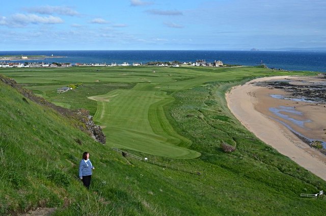
taken 12 years ago, near to Earlsferry, Fife, Scotland
This is 1 of 14 images, with title starting with Earlsferry in this square
Earlsferry and Elie
Earlsferry, to the right and Elie from the near the top of Kincraig which I think is the highest point on the Fife coastal path.
 Map © Crown Copyright")
TIP: Click the map for more Large scale mapping
- Grid Square
- NT4799, 100 images (more nearby 🔍)
- Photographer
- Jim Bain (more nearby)
- Date Taken
- Thursday, 14 June, 2012 (more nearby)
- Submitted
- Monday, 25 June, 2012
- Subject Location
-
OSGB36:
 NT 4789 9954 [10m precision]
WGS84: 56:11.1374N 2:50.4678W - Camera Location
-
OSGB36: NO 4723 0002
- View Direction
- Southeast (about 135 degrees)