2012
SO1532 : Track between the current and former route of the A479 south of Talgarth
taken 12 years ago, near to Trefecca, Powys, Wales
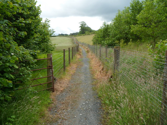
Track between the current and former route of the A479 south of Talgarth
 Map © Crown Copyright")
TIP: Click the map for more Large scale mapping
- Grid Square
- SO1532, 26 images (more nearby 🔍)
- Photographer
- Jaggery (more nearby)
- Date Taken
- Sunday, 24 June, 2012 (more nearby)
- Submitted
- Tuesday, 26 June, 2012
- Subject Location
-
OSGB36:
 SO 155 323 [100m precision]
WGS84: 51:58.9625N 3:13.9076W - Camera Location
-
OSGB36: SO 154 324
- View Direction
- Southeast (about 135 degrees)