2012
TA1672 : Partly bare field, south of Grindale Road
taken 12 years ago, near to Buckton, East Riding of Yorkshire, England
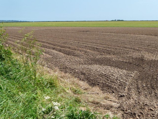
Partly bare field, south of Grindale Road
Looking towards the distant Mill and Newsham Farms.
 Map © Crown Copyright")
TIP: Click the map for more Large scale mapping
- Grid Square
- TA1672, 43 images (more nearby 🔍)
- Photographer
- Christine Johnstone (more nearby)
- Date Taken
- Tuesday, 26 June, 2012 (more nearby)
- Submitted
- Sunday, 1 July, 2012
- Subject Location
-
OSGB36:
 TA 166 722 [100m precision]
WGS84: 54:7.9664N 0:12.9538W - Camera Location
-
OSGB36: TA 166 722
- View Direction
- Southeast (about 135 degrees)