1996
SD2798 : Low Water
taken 28 years ago, 3 km from Coniston, Cumbria, England
This is 1 of 21 images, with title Low Water in this square
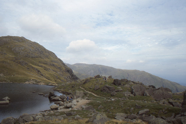
Low Water
 Map © Crown Copyright")
TIP: Click the map for more Large scale mapping
- Grid Square
- SD2798, 110 images (more nearby 🔍)
- Photographer
- Christopher Hilton (more nearby)
- Date Taken
- Saturday, 14 September, 1996 (more nearby)
- Submitted
- Tuesday, 3 July, 2012
- Subject Location
-
OSGB36:
 SD 2755 9835 [10m precision]
WGS84: 54:22.5287N 3:7.0096W - Camera Location
-
OSGB36: SD 2756 9823
- View Direction
- NORTH (about 0 degrees)