2012
TR3357 : Moat and rampart
taken 12 years ago, near to Sandwich, Kent, England
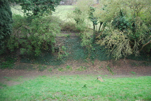
Moat and rampart
The defences of Sandwich were a wall on the N and W sides and a rampart on the remainder. They were built some time after 1384/5 and renewed in the time of Edward IV. The wall and the Fisher Gate are scheduled. The two gates still standing are the Barbican and Fisher Gate. The latter, according to a plaque, was built circa 1384.
Website: Link
See other images of Town Walls, Sandwich
Website: Link
See other images of Town Walls, Sandwich
 Map © Crown Copyright")
TIP: Click the map for more Large scale mapping
- Grid Square
- TR3357, 199 images (more nearby 🔍)
- Photographer
- N Chadwick (more nearby)
- Date Taken
- Thursday, 5 April, 2012 (more nearby)
- Submitted
- Tuesday, 3 July, 2012
- Subject Location
-
OSGB36:
 TR 3333 5787 [10m precision]
WGS84: 51:16.3308N 1:20.6260E - Camera Location
-
OSGB36: TR 3332 5789
- View Direction
- Southeast (about 135 degrees)