2012
TQ4200 : Cornwall Avenue
taken 12 years ago, near to Peacehaven, East Sussex, England
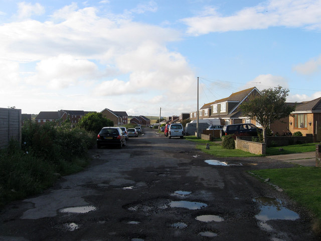
Cornwall Avenue
This part of the avenue was not part of the original layout and was added after the war as were many of the houses on the right. To the left just out of shot are a set of allotment gardens whilst in the distance are a number of new houses recently completed though not all are inhabited yet.
 Map © Crown Copyright")
TIP: Click the map for more Large scale mapping
- Grid Square
- TQ4200, 83 images (more nearby 🔍)
- Photographer
- Simon Carey (more nearby)
- Date Taken
- Friday, 6 July, 2012 (more nearby)
- Submitted
- Saturday, 7 July, 2012
- Subject Location
-
OSGB36:
 TQ 4231 0097 [10m precision]
WGS84: 50:47.4502N 0:1.0608E - Camera Location
-
OSGB36: TQ 4231 0092
- View Direction
- NORTH (about 0 degrees)