2012
TL3518 : Bourne Valley public footpath
taken 12 years ago, near to High Cross, Hertfordshire, England
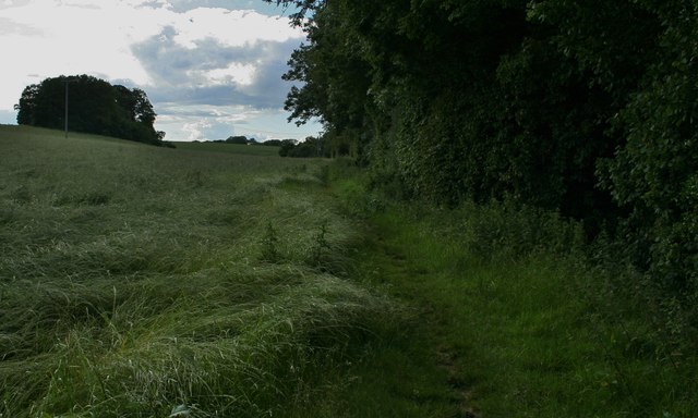
Bourne Valley public footpath
View of the public footpath that runs along The Bourne towards Marshall's Lane, Shepherdshill Wood is on the left
 Map © Crown Copyright")
TIP: Click the map for more Large scale mapping
- Grid Square
- TL3518, 12 images (more nearby 🔍)
- Photographer
- Lee Holmes (more nearby)
- Date Taken
- Sunday, 24 June, 2012 (more nearby)
- Submitted
- Saturday, 7 July, 2012
- Subject Location
-
OSGB36:
 TL 3586 1852 [10m precision]
WGS84: 51:50.9251N 0:1.7402W - Camera Location
-
OSGB36: TL 3593 1841
- View Direction
- North-northwest (about 337 degrees)