2012
ST5575 : Combined sluice and footbridge, River Trym, Sea Mills, Bristol
taken 12 years ago, near to Ham Green, North Somerset, England
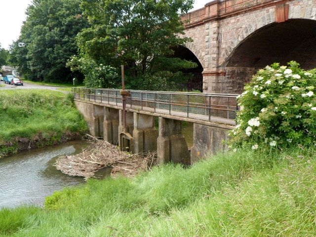
Combined sluice and footbridge, River Trym, Sea Mills, Bristol
The sluice prevents flooding upstream by incursions of tidal water from the River Avon, except during the highest spring tides. A mass of vegetation has accumulated at the edge of the sluice.
In the background is the Portway (A4) bridge. Link
In the background is the Portway (A4) bridge. Link
 Map © Crown Copyright")
TIP: Click the map for more Large scale mapping
- Grid Square
- ST5575, 95 images (more nearby 🔍)
- Photographer
- Jaggery (more nearby)
- Date Taken
- Saturday, 23 June, 2012 (more nearby)
- Submitted
- Sunday, 8 July, 2012
- Subject Location
-
OSGB36:
 ST 550 759 [100m precision]
WGS84: 51:28.8153N 2:38.9635W - Camera Location
-
OSGB36: ST 550 759
- View Direction
- SOUTH (about 180 degrees)