1994
SD9869 : Wharfedale from Conistone Pie
taken 30 years ago, near to Kilnsey, North Yorkshire, England
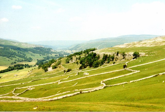
Wharfedale from Conistone Pie
Looking up the dale to woodland below Swineber Scar, and Kettlewell beyond. A typical Dales landscape, with drystone limestone walls
 Map © Crown Copyright")
TIP: Click the map for more Large scale mapping
- Grid Square
- SD9869, 34 images (more nearby 🔍)
- Photographer
- M J Richardson (more nearby)
- Date Taken
- July 1994 (more nearby)
- Submitted
- Wednesday, 11 July, 2012
- Subject Location
-
OSGB36:
 SD 984 694 [100m precision]
WGS84: 54:7.2385N 2:1.5584W - Camera Location
-
OSGB36: SD 988 688
- View Direction
- Northwest (about 315 degrees)