2012
NS2055 : Sea wall
taken 12 years ago, near to Fairlie, North Ayrshire, Scotland
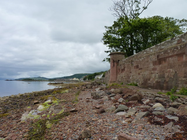
Sea wall
At Fairlie beach.
 Map © Crown Copyright")
TIP: Click the map for more Large scale mapping
- Grid Square
- NS2055, 160 images (more nearby 🔍)
- Photographer
- James Allan (more nearby)
- Date Taken
- Thursday, 19 July, 2012 (more nearby)
- Submitted
- Sunday, 22 July, 2012
- Subject Location
-
OSGB36:
 NS 2086 5511 [10m precision]
WGS84: 55:45.3657N 4:51.3768W - Camera Location
-
OSGB36: NS 2082 5501
- View Direction
- North-northeast (about 22 degrees)